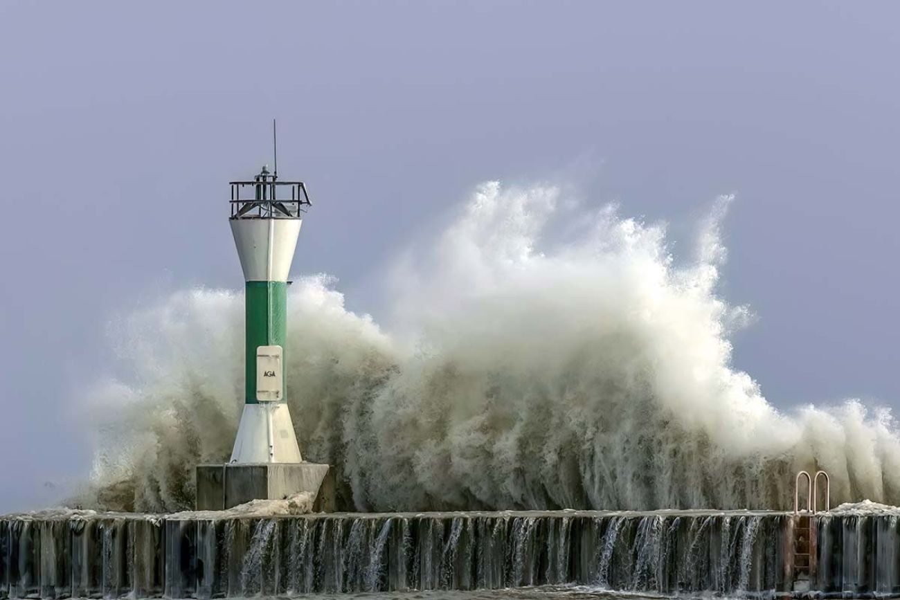
Hurricane Beryl could bring nasty weather, floods to Michigan this week

- Michigan could be hit with severe weather this week as Hurricane Beryl approaches Texas
- Heavy rain and thunderstorms are expected in Michigan between Tuesday and Wednesday
- The storm could also affect weather in states from Louisiana to Illinois
July 11: Hurricane Beryl aftermath: Michigan rainfall totals, flood damage
Hurricane Beryl, which has swept through several Caribbean islands, has slowed to a tropical storm but still could make weather dicey from Texas to Michigan this week.
With 90 mph winds, Beryl has killed at least two in Texas on Monday and left 2 million without power. While it is slowing in strength, the storm could make weather dicey as far north as Michigan this week, impacting states from Louisiana to Illinois, according to the National Weather Service.
After forming in the Atlantic on June 28, Beryl has swept through Jamaica, Grenada and St. Vincent.
Related:
- How to protect pets during Michigan’s blue-green algae season
- Experts predict moderate Lake Erie toxic algae bloom
- A tsunami-like wave on Lake Michigan? What to know about a ‘meteotsunami’
The storm’s remnants will bring scattered showers and thunderstorms in Flint and near the thumb region on Monday.
Widespread, heavy rain will begin Tuesday night and into Wednesday morning in southern Michigan, according to the NWS.
One to 3 inches of rain are predicted Tuesday and Wednesday. The heaviest rain is expected in southern Michigan, closest to the Ohio Valley.
“At this time, we can't really pinpoint where we might see flooding, but anytime that you get more than 2 inches of rainfall in a 24-hour period or less, there's certainly potential for flooding,” said Megan Varcie, meteorologist for the NWS Detroit office.
“The system is taking a more southerly track. So it's basically expected to go right over southeast Michigan, with the heaviest rain generally occurring along and south of Interstate 69,” Varcie said.
Michigan Environment Watch
Michigan Environment Watch examines how public policy, industry, and other factors interact with the state’s trove of natural resources.
- See full coverage
- Subscribe
- Share tips and questions with Bridge environment reporter Kelly House
Michigan Environment Watch is made possible by generous financial support from:
Our generous Environment Watch underwriters encourage Bridge Michigan readers to also support civic journalism by becoming Bridge members. Please consider joining today.
See what new members are saying about why they donated to Bridge Michigan:
- “In order for this information to be accurate and unbiased it must be underwritten by its readers, not by special interests.” - Larry S.
- “Not many other media sources report on the topics Bridge does.” - Susan B.
- “Your journalism is outstanding and rare these days.” - Mark S.
If you want to ensure the future of nonpartisan, nonprofit Michigan journalism, please become a member today. You, too, will be asked why you donated and maybe we'll feature your quote next time!


